WATERSHED DISTRICTS
What is a Watershed District (Minnesota Association of Watershed Districts)
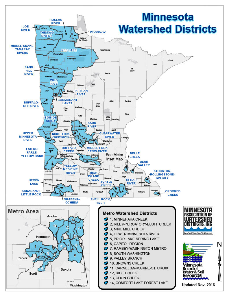
Watershed districts are local, special-purpose units of government that work to solve and prevent water-related problems. The boundaries of each district follow those of a natural watershed and consist of land in which all water flows to one outlet. The districts are usually named after that watershed.
West Polk County has 4 Watershed District's within it's boundary.
Middle River Snake Watershed District - office is in Warren MN
2018 Annual Report
Red Lake Watershed District - office is in Thief River Falls MN
2018 Annual Report
Sand Hill River Watershed District - office is in Fertile MN
2018 Annual Report
Wild Rice Watershed District - office is in Ada MN
2017 Annual Report
West Polk SWCD and the listed Watershed Districts are active partners in the continued efforts in improving water quality, habitat enhancement/restoration, recreational opportunities and provide flood protection.